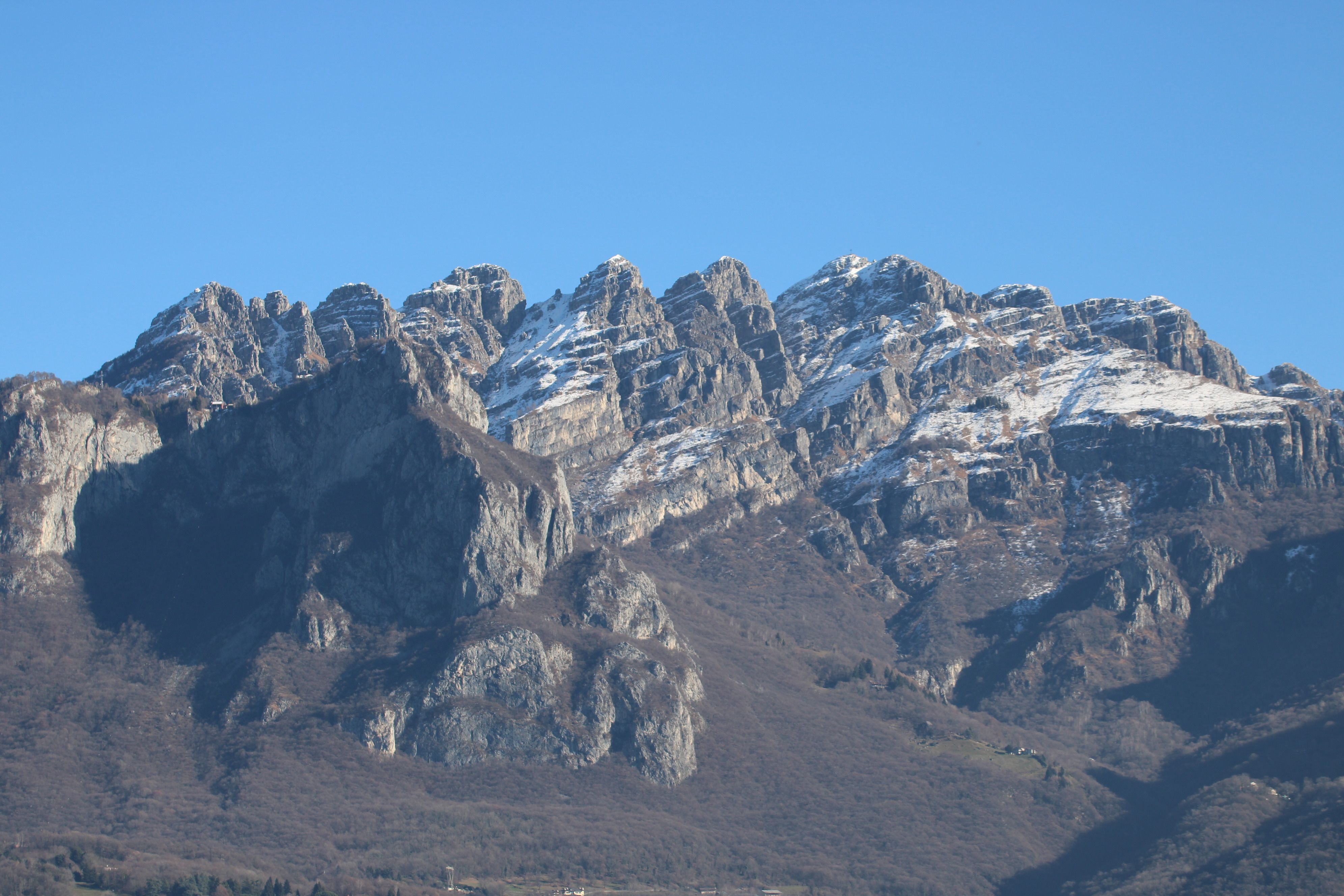
On the lake side you start from Versasio, in Lecco, from the cable car car park at 610 metres. Trail 1 is the classic route: 1,265 metres of elevation gain, about three hours of climbing, difficulty EE, with some exposed passages and small rock steps in the final stretch. It is not a technically difficult route, it is only relatively long; it is worth bearing in mind that in summer the south-west slope is constantly exposed to the sun from ten in the morning onwards.
Those who want to shorten it take the cable car, in service since 1965, which carries you to the Piani d'Erna at 1,320 metres and cuts out the first hour and a half and more of woodland. The departure car park has paid parking and is the terminus of urban bus number 5, which comes from Lecco railway station. The lift is part of the Lombard local public transport, so the regional integrated tickets apply: a single ride costs 8 euros, the ten-ride carnet 73, a bicycle or dog 3 euros.
Until 24 October 2026 it opens at 8:30 on weekdays and closes at 17:30, with a break between 12:30 and 13:30; on weekends and holidays it starts at 8:00 and runs until 18:00. From 25 October the schedule is shortened by half an hour every day.
Along this side you meet the historic strongholds of the Lecco Resegone: the Rifugio Stoppani in the locality of Costa, at 890 metres, and higher up the Capanna Alpinisti Monzesi at 1,173 metres, just below the Passo del Fò, with the nearby Capanna Ghislandi. These are the places where you have a drink looking down at the lake, and they are also the reference points for finding your way in the tangle of trail markers that opens up just below the Piani d'Erna.
The easy route is on the other side. From Ballabio you take provincial road 63, fifteen kilometres of tight hairpins that climb to the Olino saddle, just under 1,200 metres, and descend to Morterone.
You park near the helicopter rescue pad, at 1,070 metres, take trail 16 to the Forbesette spring at 1,405, then trail 17 on a false flat through the woods to the Brumano saddle and the last slope. Eight hundred metres of elevation gain, two hours, difficulty E. It is the right climb for those who don't have skyrunner legs and still want the summit cross, and it is also the most frequented in winter with snowshoes, small crampons or ski-mountaineering skis, when conditions allow.
The road to Morterone is the only access to the village and is closed in case of snow or avalanche risk: it is the first thing to check before getting in the car.
That leaves the Bergamo gateways. From Brumano, nine hundred metres above sea level in the Valle Imagna, you reach the summit in two and a half hours by a trail that leaves the woods on gravelly ground and reaches the ridge just before the refuge. From Fuipiano you climb via the Costa del Palio, the long grassy back that divides the Val Taleggio from the Valle Imagna.
From Erve, above Calolziocorte, you gain the Passo del Fò and enter the circuit of the via ferratas. Anyone with a whole day and the wish to understand the mountain as a whole can walk the Anello del Resegone (Resegone Ring), which circles the massif touching all the slopes and culminates precisely at the Passo del Giuff, at 1,515 metres.